
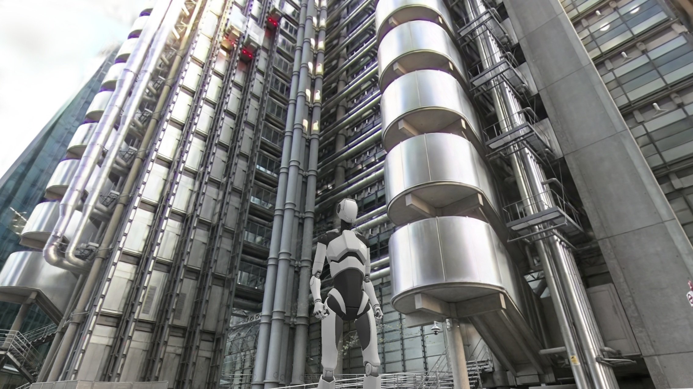
3D context capture and interactive Virtual Tours
We create 3D virtual tours of any place with the latest capture technology
In Arquiavis We specialize in capturing any space with cutting-edge technologies like LiDAR scanners, drone photogrammetry, spherical cameras, and more. Our advanced equipment workflows allows us to create stunning virtual tours of buildings and exceptional locations in record time, offering our clients an immersive, high-quality experience. Explore the future of space visualization with Arquiavis today and let us tell your story.
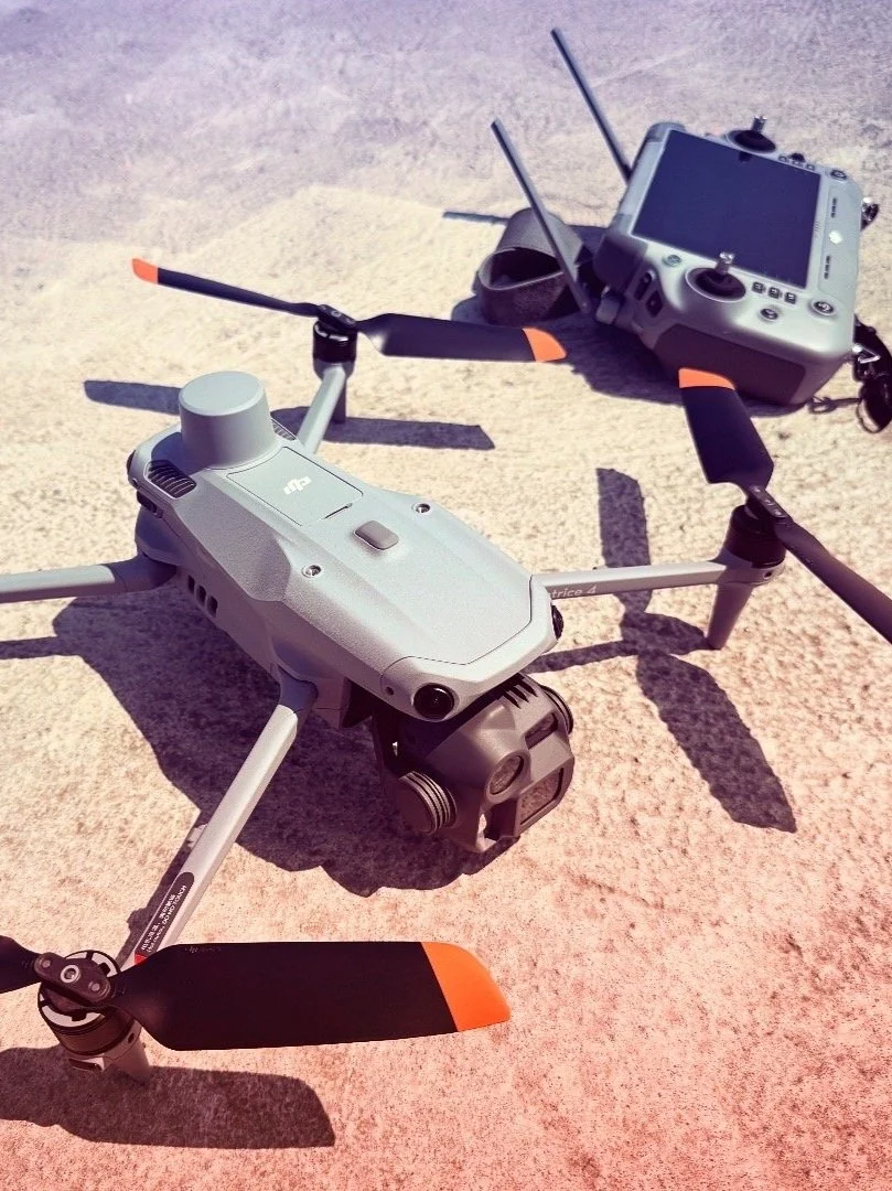
Drone Mapping & photogrammetry
We utilize advanced drone mapping technology combined with Artificial Intelligence tools to capture precise 3D scans of any building. This powerful combination ensures quick, accurate results, delivering high-quality scans in record time
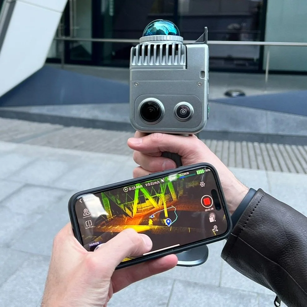
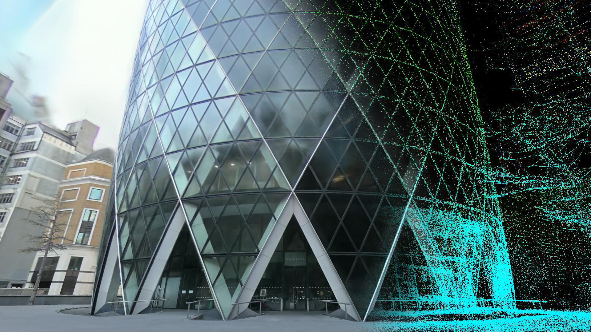
LiDAR and 3DGS
LiDAR technology help us to capture irregular terrains and building, regardless of shape or complexity, including forests and vegetation. This enables us to create highly accurate virtual tours and digital twins using Gaussian Splat technology (3DGS), offering precise, detailed representations of any space.

360 Spherical photo and video
360 cameras are essential for us to capture spaces from every angle, to provide immersive visualizations. We carefully position them to seamlessly blend with 3D models, ensuring a cohesive, detailed representation of buildings or locations that can be visited online and inserted in any web.
We work with multiple formats and tools
We utilize a range of advanced software to streamline our workflow, ensuring faster turnaround times and high-quality results that meet all VFX and 3D industry standards
